Sirelo
It's no secret that moving abroad can be stressful. Sirelo's team of removal advisers is here to help. They provide five free quotes from international shipping companies so you can find the best options at the best prices. Take the stress out of your relocation to Portugal with Sirelo.
Background
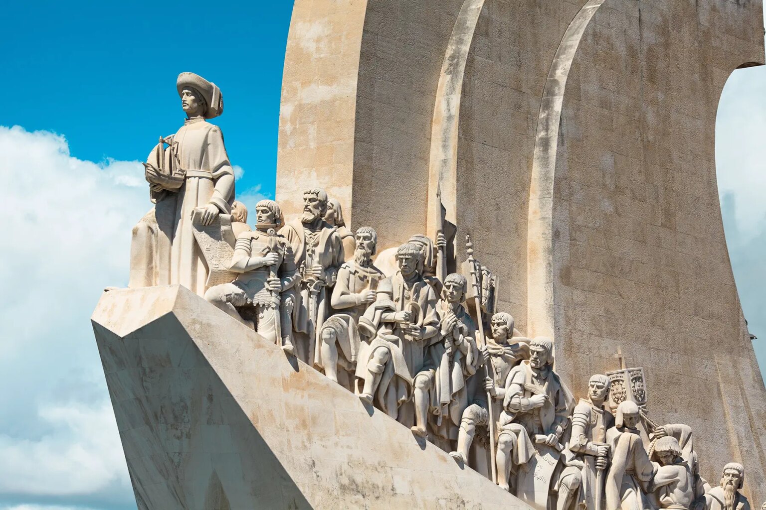
Following its heyday as a global maritime power during the 15th and 16th centuries, Portugal lost much of its wealth and status with the destruction of Lisbon in a 1755 earthquake, occupation during the Napoleonic Wars, and the independence of its wealthiest colony of Brazil in 1822. A 1910 revolution deposed the monarchy; for most of the next six decades, repressive governments ran the country. In 1974, a left-wing military coup installed broad democratic reforms. The following year, Portugal granted independence to all of its African colonies. Portugal is also a founding member of NATO and entered the EC (now the EU) in 1986.
Location
Southwestern Europe, bordering the North Atlantic Ocean, west of Spain
Geographic coordinates:
39 30 N, 8 00 W
Area
total: 92,090 sq km
country comparison to the world: 110
land: 91,470 sq km
water: 620 sq km
note: includes Azores and Madeira Islands
Area – comparative:
slightly smaller than Indiana
Land boundaries:
total: 1,214 km
border countries: Spain 1,214 km
Coastline:
1,793 km
Maritime claims:
territorial sea: 12 nm
contiguous zone: 24 nm
exclusive economic zone: 200 nm
continental shelf: 200 m depth or to the depth of exploitation
Climate
Current Weather
maritime temperate; cool and rainy in north, warmer and drier in south
Terrain
mountainous north of the Tagus River, rolling plains in south
Elevation extremes:
lowest point: Atlantic Ocean 0 m
highest point: Ponta do Pico (Pico or Pico Alto) on Ilha do Pico in the Azores 2,351 m
Natural resources
fish, forests (cork), iron ore, copper, zinc, tin, tungsten, silver, gold, uranium, marble, clay, gypsum, salt, arable land, hydropower
Land use
arable land: 17.29%
permanent crops: 7.84%
other: 74.87% (2005)
Irrigated land:
6,500 sq km (2003)
Total renewable water resources:
73.6 cu km (2005)
Freshwater withdrawal (domestic/industrial/agricultural):
total: 11.09 cu km/yr (10%/12%/78%)
per capita: 1,056 cu m/yr (1998)
Natural hazards
Azores subject to severe earthquakes
volcanism: Portugal experiences limited volcanic activity in the Azores Islands; Fayal or Faial (elev. 1,043 m, 3,422 ft) last erupted in 1958; most volcanoes have not erupted in centuries; historically active volcanoes include Agua de Pau, Furnas, Pico, Picos Volcanic System, San Jorge, Sete Cidades, and Terceira
Environment – current issues
soil erosion; air pollution caused by industrial and vehicle emissions; water pollution, especially in coastal areas
Environment – international agreements:
party to: Air Pollution, Biodiversity, Climate Change, Climate Change-Kyoto Protocol, Desertification, Endangered Species, Hazardous Wastes, Law of the Sea, Marine Dumping, Marine Life Conservation, Ozone Layer Protection, Ship Pollution, Tropical Timber 83, Tropical Timber 94, Wetlands, Whaling
signed, but not ratified: Air Pollution-Persistent Organic Pollutants, Air Pollution-Volatile Organic Compounds, Environmental Modification
Geography – note
Azores and Madeira Islands occupy strategic locations along western sea approaches to Strait of Gibraltar.


